ikewise, for drawing a map in a specific area. Moreover, in that area, people consider the land to be flat, and they maintain that the centerline is parallel. Similarly, this method is applicable in the field of roads, railways, irrigation and drainage systems, some topographical and hydrographic surveys, village and urban land surveys.
Likewise, they call the process of presenting the detailed characteristics of a particular area in writing or mechanically on paper “map making. Specifically, People create maps through map making.
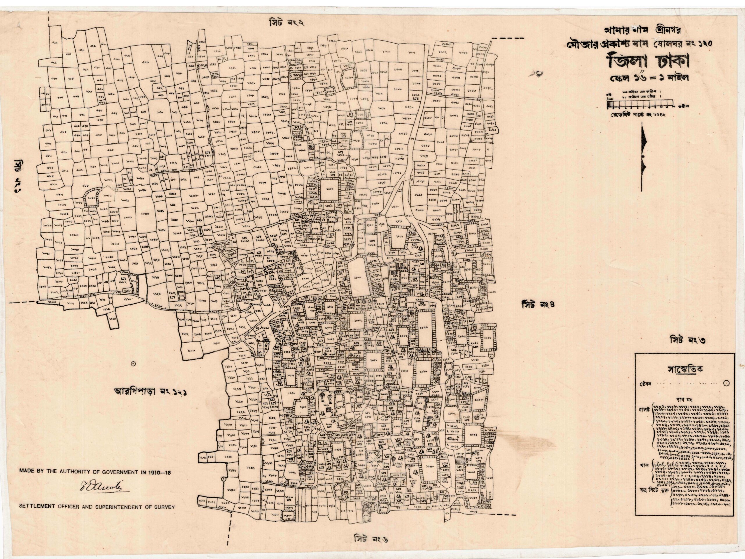
What is a Mouza Map Survey?
A mouza map survey is a specialised type of land survey conducted with the aim of creating maps based on mouzas (villages or residential areas). It is extremely important for land management, development planning, and local government activities. Through a mouza map survey, the boundaries, land use, and other geographical features of a specific mouza are determined.
Main Objectives of a Mouza Map Survey:
Determining Land Boundaries:
The boundaries of the mouza are accurately marked to assist in land ownership and usage.
Analysing Land Use:
Different areas of the mouza are analysed for residential, commercial, agricultural, and other types of land use.
Architectural Planning:
Identifying the infrastructure of the mouza, such as roads, schools, hospitals, etc., for future development planning.
Collecting Environmental Data:
Gathering information on the environmental conditions and natural resources of the mouza, which is crucial for sustainable development.
Social and Economic Research:
Analysing the social and economic conditions of the local population to assist in development planning.
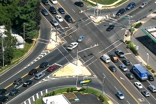
Traffic survey services involve collecting and analyzing data related to road and pedestrian traffic to understand movement patterns, congestion, and safety. These services are crucial for p

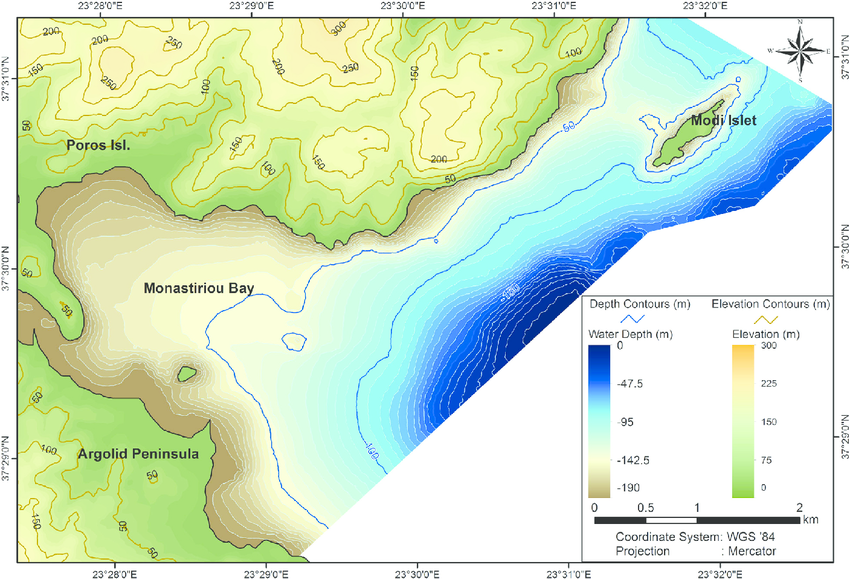
A digital topographic survey is a method of creating a detailed map of a land area using digital technologies to capture and represent the terrain's natural and man-made features. It involve
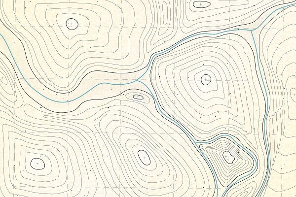
A contour survey, also known as a site survey, detail survey, or feature topographic survey, is a specialized type of land survey that maps the topography of a site, showing the shape and el
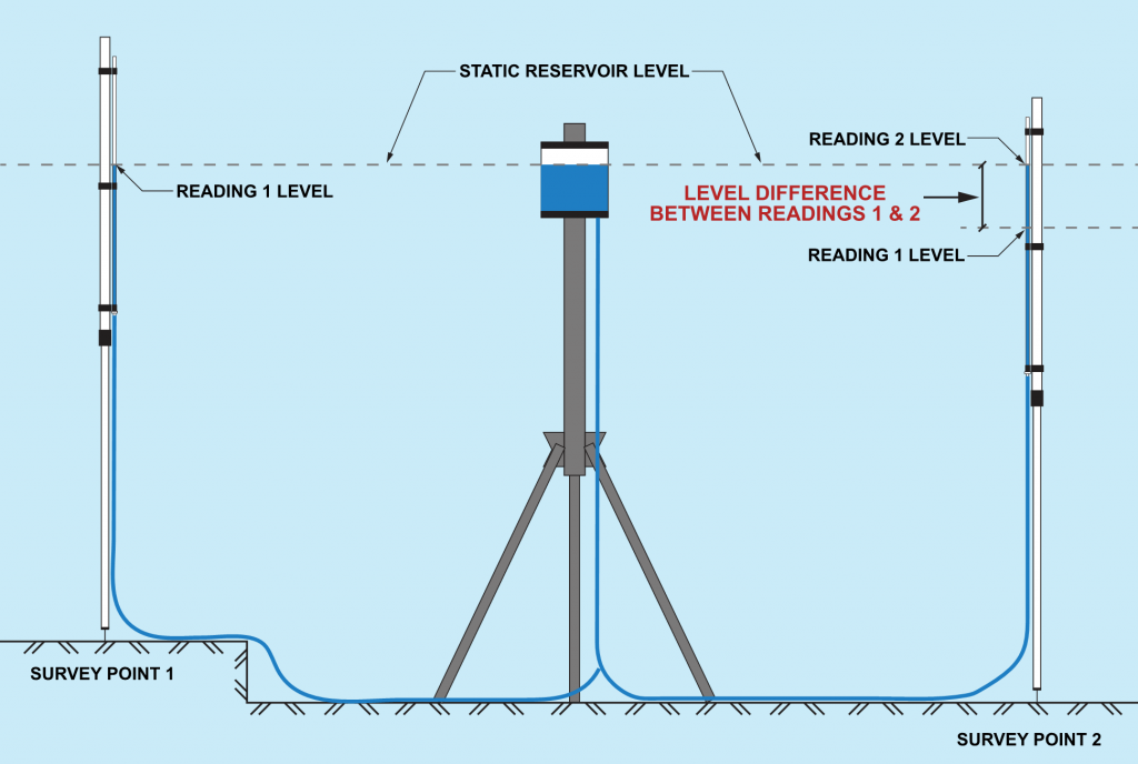
Levelling in surveying is the process of determining the height of one point relative to another, essentially measuring the difference in elevation between points. It's a fundamental techniq
Unlike traditional GPS systems, which rely on data from satellites alone, RTK GPS systems use additional data from a nearby base station to improve the accuracy of the GPS data. This can pro
ikewise, for drawing a map in a specific area. Moreover, in that area, people consider the land to be flat, and they maintain that the centerline is parallel. Similarly, this method is appli