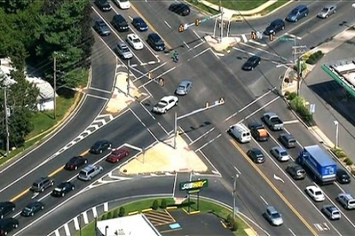
Traffic survey services involve collecting and analyzing data related to road and pedestrian traffic to understand movement patterns, congestion, and safety. These services are crucial for p

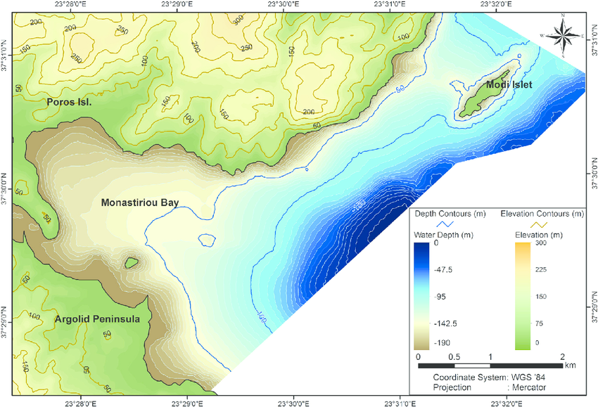
A digital topographic survey is a method of creating a detailed map of a land area using digital technologies to capture and represent the terrain's natural and man-made features. It involve
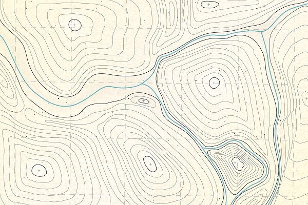
A contour survey, also known as a site survey, detail survey, or feature topographic survey, is a specialized type of land survey that maps the topography of a site, showing the shape and el
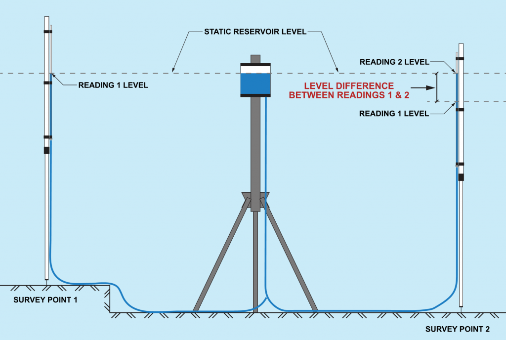
Levelling in surveying is the process of determining the height of one point relative to another, essentially measuring the difference in elevation between points. It's a fundamental techniq
Unlike traditional GPS systems, which rely on data from satellites alone, RTK GPS systems use additional data from a nearby base station to improve the accuracy of the GPS data. This can pro
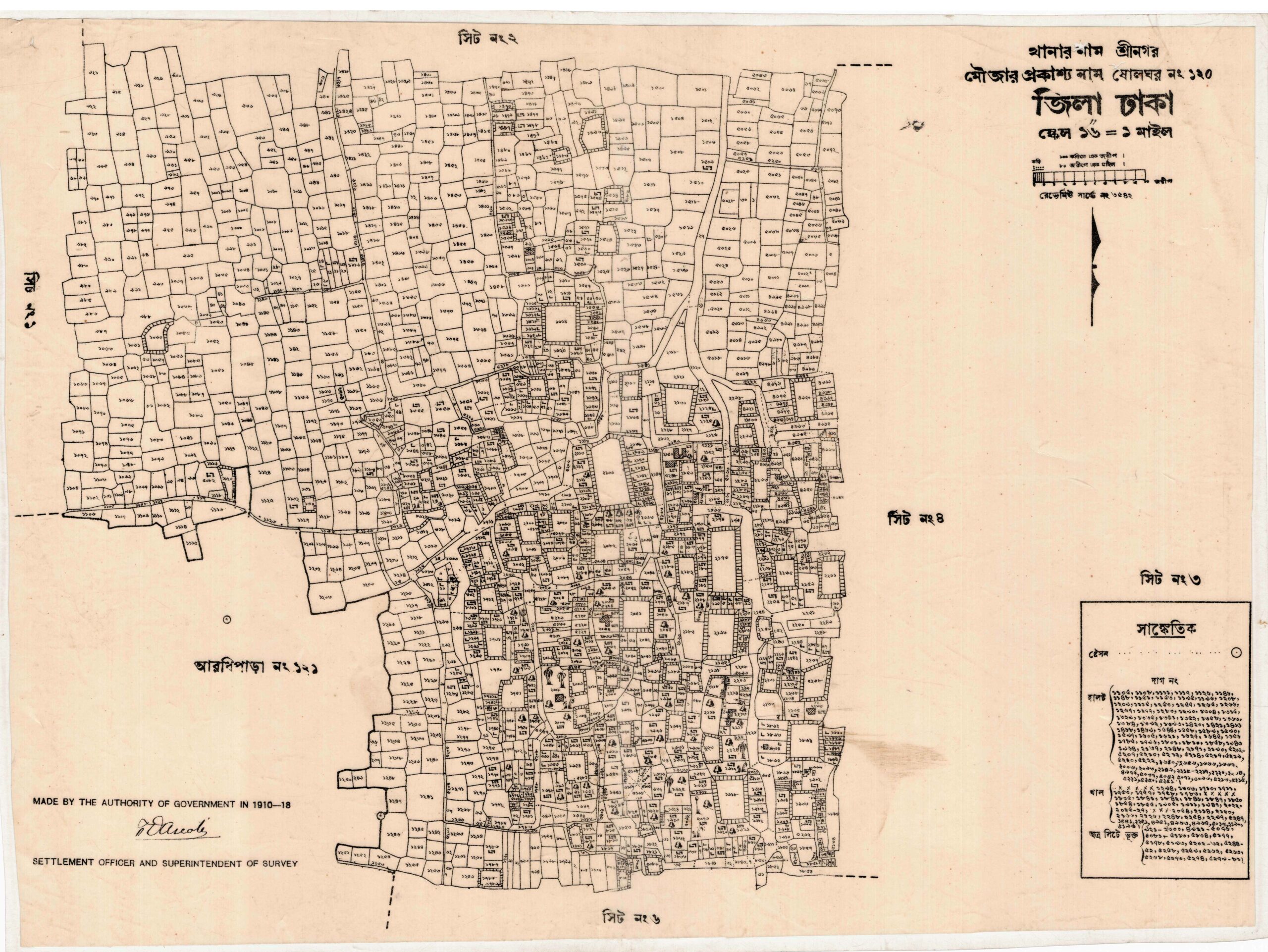
ikewise, for drawing a map in a specific area. Moreover, in that area, people consider the land to be flat, and they maintain that the centerline is parallel. Similarly, this method is appli